Overview
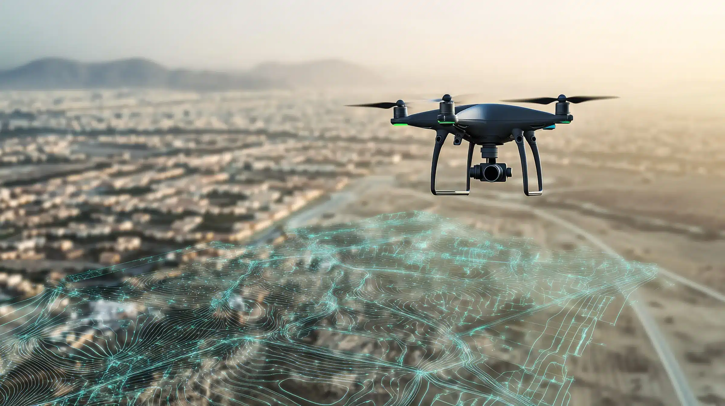
Mapping, surveying and site documentation are changing fast. Drones and 3D laser scanners now capture in hours what used to take crews weeks, and the people who can fly, scan, check and deliver that data are in demand across construction, resource development, infrastructure and land management — including on projects in and around our own communities.
This full-time, six-week program puts learners in the field from the start. It begins with culture, safety and aircraft knowledge, moves into survey control, aerial capture and scanning, and wraps up with review, communication, portfolio building and a day of direct industry exposure. Every week produces something real: a document, a dataset or a deliverable learners can show an employer.
It’s one more way ISTA is building Indigenous capacity from the ground up — and now, from the air.
Program at a glance
- Format: Full-time, in person, over six weeks
- Time commitment: At least 25 instructor-led or supported training hours each week
- Drone training: 34 hours of instruction (24 hours ground school + 10 hours supervised flight practice), plus a separate formal flight review
- Scanning & mapping: Survey control, aerial mapping, terrestrial (fixed-site) scanning and mobile/corridor scanning
- You leave with: A field portfolio, completed datasets and a completion report
- Delivered with: Bearclaw Tech Solutions
- Next intake: Contact us for upcoming intake dates.
Who it’s for
- Indigenous youth and adults looking for a technology-focused trades career
- Community members interested in land management, environmental monitoring, construction or infrastructure
- Workers already in the trades who want to add drone and geomatics skills to their toolkit
- Communities and Nations building in-house capacity to map, monitor and document their own lands and assets
No prior drone or surveying experience is needed — just a willingness to learn, work outdoors and show up ready every day.
What you’ll learn
Drone (RPAS) pilot training
A structured ten-stage pathway covering the rules of the air, airspace, aircraft systems, weather, human factors, navigation and radio communications, followed by supervised flight stages focused on aircraft handling, controlled manoeuvres and emergency procedures. Learners prepare for the Transport Canada Basic and Advanced exams and a formal flight review.
Survey control & aerial mapping
How to establish and check a survey reference network, plan flights and capture accurate aerial imagery that holds up to professional standards.
Terrestrial 3D scanning
Setting up and running laser scanners at fixed sites, and documenting a complete, usable scan dataset.
Mobile & corridor scanning
Capturing long linear sites — roads, pipelines, rail lines, transmission corridors — and combining scan and mapping data into a single deliverable package.
Professional skills
Site safety, teamwork, communicating results, reviewing your own work and presenting a portfolio to industry.


Six-week schedule
| Week | Focus | What you’ll produce |
|---|---|---|
| 1 | Orientation and drone (RPAS) foundations | A personal learning plan and signed safety documents |
| 2 | RPAS completion, technical and safety basics | Credential status, site plans and team assignments |
| 3 | Survey control and aerial mapping | A checked reference network and aerial imagery |
| 4 | Terrestrial scanning | A documented fixed-site scan dataset |
| 5 | Mobile / corridor scanning | A linear-site scan and mapping package |
| 6 | Review, industry day and capstone | Your portfolio, handover and completion report |
Drone training: the ten-stage pathway
| Stages | Main subject | Hours |
|---|---|---|
| 1–2 | Rules, airspace and aircraft systems | 9 ground |
| 3–4 | Weather, human factors and navigation | 10 ground |
| 5 | Theory review, communications and Basic exam | 5 ground |
| 6–9 | Supervised flight stages and Advanced exam | 10 practical |
| 10 | Formal flight review with an eligible reviewer | Separate appointment |
Drone pilot certificates are issued by Transport Canada, not by ISTA or the training provider. The program prepares learners for the exams and flight review; Transport Canada determines whether each learner qualifies.
What you walk away with
- Hands-on experience with professional drone, survey and 3D scanning equipment
- Preparation for Transport Canada Basic and Advanced drone pilot certification
- A field portfolio of real datasets — imagery, scans and mapping packages — to show employers
- Direct exposure to industry through a dedicated industry day
- A completion report documenting your training
About our partner
This program is offered to ISTA learners courtesy of Bearclaw Tech Solutions. Their expertise in drone operations, geomatics and 3D scanning — combined with ISTA’s commitment to Indigenous-led training — gives learners a direct line into the technology reshaping how land and infrastructure are measured and managed.
Frequently asked questions
Do I need drone experience before I start?
No. The program starts with the fundamentals and builds from there.
Will I get my drone pilot certificate?
You’ll be trained and prepared for the Transport Canada Basic and Advanced exams and the formal flight review. Certification itself is issued by Transport Canada based on your results.
Is this full-time?
Yes. Plan for full-time attendance across all six weeks, with at least 25 training hours per week.
When does the next intake start?
Dates are confirmed before invitations go out. Register your interest and we’ll contact you when the next intake is scheduled.
Ready to see the land from a whole new angle?
Spaces are limited. Register your interest today and be the first to hear when the next intake opens.
Register Your InterestContact ISTA
